ThinkSpatial: John Gallo

A Spatial Decision Support System and Open Knowledge Network for Fire-Risk Reduction in Santa Barbara County
John Gallo, Ph.D.
Conservation Biology Institute
Abstract: Extreme wildfire events are an increasing threat to both human and natural communities in the Western United States. Efforts to mitigate this threat are extremely complex and involve a bevy of jurisdictions and competing interests. Spatial Decision Support Systems (SDSS) can help these socio-political processes come to consensus on where people should do what treatments. Open Knowledge Networks (OKN), in addition, can help with the aspatial aspects of decision-making and action. Through this “Regional Priority Planning” project, funded by the California Coastal Conservancy and in part by the National Science Foundation, we pilot an SDSS and an OKN for Wildfire Risk Reduction in Santa Barbara County. The SDSS uses the Environmental Evaluation Modeling System (EEMS), a multicriteria combination software with a graphical user interface in DataBasin.org and eemsonline.org. SDSS development continues as part of the Regional Wildfire Mitigation Program funded by the National Wildlife Foundation. I will detail the SDSS and give a demonstration of its use. The OKN, which is in a more preliminary phase, will be described in terms of its underlying science, path and process.
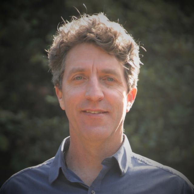
Bio: John Gallo is a geographer and landscape ecologist performing “action research” for the past 20 years in conservation planning, spatial decision support systems, citizen science, habitat connectivity software development, and community knowledge sharing. Action research uses best practices and explores scientific frontiers while performing applied projects. He received a Ph.D. in Geography at the University of California Santa Barbara (UCSB), under the direction of Professor Michael Goodchild, with several fellowships including the Jack and Laura Dangermond award for exceptional “promise in Geographic Information Science.” He received his B.A. in Environmental Studies and his B.S. in Ecology and Evolution, also at UCSB, with top honors. He is Senior Scientist at the Conservation Biology Institute, a non-profit organization that bridges science and practice, and that has built many spatial applications such as Databasin.org, a participatory GIS platform with 40,000 users and 30,000 datasets. Gallo’s favorite hobbies are birdwatching, ultimate frisbee, surfing, and hiking.
The objective of the ThinkSpatial Forum is to exchange ideas about spatial perspectives in research and teaching, broaden communication and cooperation across disciplines among faculty and graduate students, and encourage the sharing of tools and concepts.