ThinkSpatial: Karl Grossner
Representing Place for World Historical Gazetteer
Karl Grossner
University of Pittsburgh World History Center
Abstract: The recently launched World Historical Gazetteer (WHG) web platform aggregates contributions of information about named places drawn from historical source material by researchers studying the past in numerous humanities and social science fields. There are no constraints upon spatial or temporal extents, nor on scale of features, however, the project focus to date is on populated places, administrative units, natural geographic features, and regions of all kinds. Contributed datasets can be of any size.
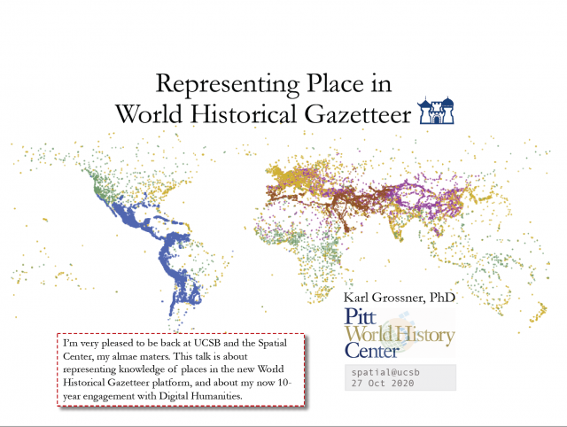
To date, the WHG data stores hold records for about 1.8 million places having over 3 million name variants. Of these, only 60,000 have explicit temporal attributes; the remainder have been accessioned from the Getty Thesaurus of Geographic Names (TGN) and have unspecified temporal scope. We anticipate that the temporally scoped portion of WHG data will eventually grow to upwards of 10 million records. The project’s overarching goal is a free global resource useful for:
- geocoding of historical source materials, enabling mapping and spatial analysis of individual texts, corpora, and datasets
- linking historical research datasets and projects via shared references to places
- teaching, particularly geospatial perspectives in History
- via APIs, support for digital historical atlases and story maps
Linked Places format
As a data aggregation platform, WHG requires a standard contribution format. Researchers model data to suit their purposes, impacted by the nature of the source material and their conceptual model(s) of the phenomena being studied. We have developed the Linked Places format jointly with the Pelagios project, for use in both systems. Linked Places format is a hybrid: it is valid GeoJSON which has been extended with “when” objects for temporal scoping (GeoJSON-T), and it is valid JSON-LD v1.1, an RDF syntax.
Linked Places format enables relatively rich descriptions of places, including the temporal scoping of names, types, geometries, and relations with other places. We also developed a simpler and less expressive delimited text format, LP-TSV, and an automated transform is performed on ingest to WHG.
Toward Knowledge Representation
In this talk, Grossner will give an overview of Linked Places format, and the somewhat unorthodox path taken in development of its conceptual model, syntax, and supporting ontology. That path reflects the way that ontologies can emerge as working systems are developed, not as an afterthought, but as a product of investigating the entities and relations of a domain as the many variations of entities and properties “in the wild” present themselves.
Bio: Karl Grossner is an independent GIScience researcher working to develop novel models, standard formats, and semantically-enabled software and systems supporting the emerging genre of digital historical atlases. Broadly, his research interest concern “computing place.” A co-founder of the GeoHumanities SIG within the Alliance for Digital Humanities Organizations (2013), Grossner is an active member of that global and trans-disciplinary community. From 2017 to the present, Grossner has served as Technical Director of the World Historical Gazetteer project at the University of Pittsburgh’s World History Center (whgazetteer.org). After earning his Ph.D. in Geography at Santa Barbara in 2010, Grossner remained at the Center for Spatial Studies for a year, co-leading the NSF-funded TeachSpatial project (teachspatial.org) with Donald Janelle, the Center’s Program Director at the time. Following that, he worked for five years as a digital humanities research developer at Stanford University, building several significant interactive scholarly web applications in partnership with faculty members. Grossner’s side projects in recent years include GeoJSON-T, a temporal extension to the GeoJSON standard, and Linked Paths, experimental web software for representing, sharing, and analyzing data about historical geographic movement, including journeys, flows, and named routes.
The objective of the ThinkSpatial Forum is to exchange ideas about spatial perspectives in research and teaching, broaden communication and cooperation across disciplines among faculty and graduate students, and encourage the sharing of tools and concepts.